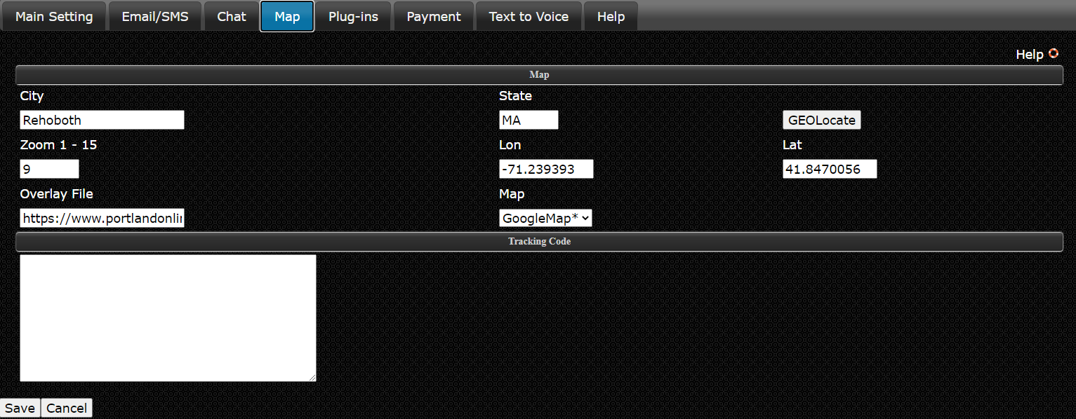
- City and State is the City and State you want the main map to center on.
- Geo-Locate button will populate the Lon and Lat fields of the City and State you choose above.
- Zoom is how close you want the default zoom to be. 1 is the most distant and 15 being the closest.
- Overlay File is a KML file you can generate from Google Earth, there are KML files on Google for download if you don't want to make your own. If you use a KML file it will override the City, State and Zoom setting. Overlays only work with Google Maps.
- Map is where you can choose the map you want to use. The OpenMap is free and has a weather overlay where as the Google Map is not free but supports weather, traffic and custom overlays. The Google cost is about $7 per 1000, after the first 100,000 views.
- Tracking Code has nothing to do with the Map, it is used to add Google or StatCounter Tracking code.